

Antarctic Meteo-Climatological Observatory
 Instruments -> AWS


| Latitude | 73° 35' 10'' S |
| Longitude | 166° 37' 16'' E |
| Altitude | 160 m |
| Installed on | 1 February 1987 |

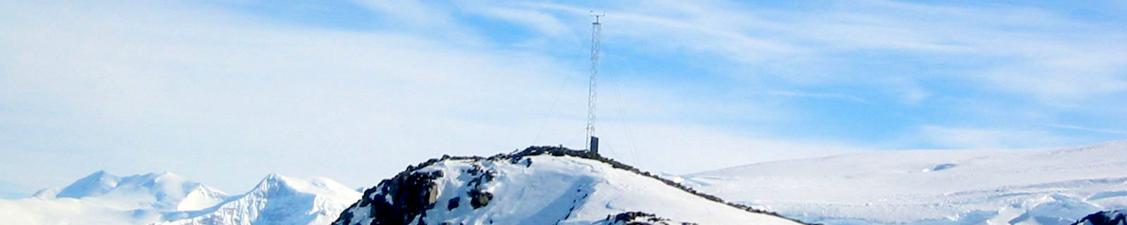
Location
Cape King is cape along the coast of Victoria Land, forming the seaward end of the rocky west wall of Wylde Glacier where the glacier enters Lady Newnes Bay, Ross Sea. Mapped by U.S. Geological Survey (USGS) from surveys and U.S. Navy air photos, 1960-64. Named by Advisory Committee on Antarctic Names (US-ACAN) for Geoffrey A. King, ionospheric and geomagnetic scientist at Hallett Station, 1958.
(From https://geonames.usgs.gov)
Data sheet
Model: Vaisala Milos 520
Mast: 3 m
- Wind Speed and Direction
- Temperature and Relative Humidity
- Atmospheric Pressure
- Solar Radiation
- 1 Flash 4 MB
- 4 batteries. Tot 600 Ah
- 2 solar panels
- Argos satellite
Curiosities ...
Max Wind speed: 89.0 knots (164.8 Km/h) at 19 June 1997
Minimum temperature: -44.9 °C at 14 September 2019
Maximum temperature: 8.8 °C at 31 July 2021