

Antarctic Meteo-Climatological Observatory
 Instruments -> AWS


| Latitude | 76° 42' 54'' S |
| Longitude | 162° 58' 12'' E |
| Altitude | 150 m |
| Installed on | 21 January 1990 |

WMO Number:
89666

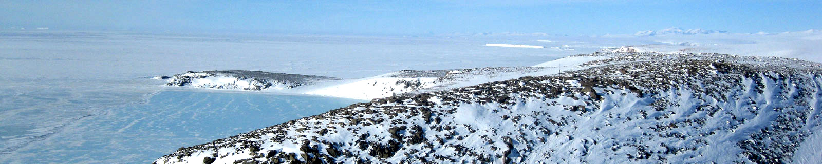
Location
Cape Ross is a granite headland 15 km north of Cape Archer on the coast of Victoria Land. First charted by the British Antarctic Expedition 1907-09 which named this feature for Sir James Clark Ross, the discoverer of the Ross Sea and Victoria Land.
(From https://geonames.usgs.gov)
Data sheet
Model: Vaisala Milos 200
Mast: 10 m
- Wind Speed and Direction
- Temperature and Relative Humidity
- Atmospheric Pressure
- 2 EPROM 512 KB
- 12 batteries. Tot 1800 Ah
- 4 solar panels
- Argos satellite
Curiosities ...
Max Wind speed: 93.0 knots (172.2 Km/h) at 24 August 2004
Minimum temperature: -44.9 °C at 10 August 2005
Maximum temperature: 8.4 °C at 11 January 2002