

Antarctic Meteo-Climatological Observatory
 Instruments -> AWS


| Latitude | 74° 8' 6'' S |
| Longitude | 163° 25' 50'' E |
| Altitude | 1621 m |
| Installed on | 9 January 1991 |

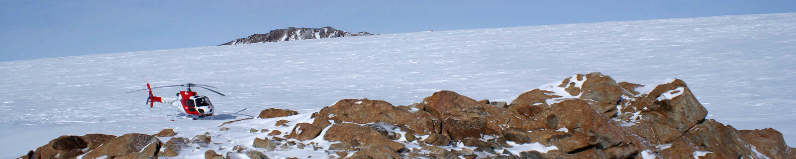
Location
Sarao Point is located on the Tourmaline Plateau and named in 1997 by Committee for Antarctic geographical names for Roberto Sarao involved in a
serious accident during the maintenance of the AWS.
Tourmaline Plateau is an ice-covered plateau in the central part of the Deep Freeze Range, bounded by the Howard Peaks and the Mount Levick.
So named by the Northern Party of New Zealand Geological Survey Antarctic Expedition, 1965-66, because of the quantities of tourmaline-granite found there.
(From https://geonames.usgs.gov)
Data sheet
Model: Vaisala Maws
Mast: 3 m
- Wind Speed and Direction
- Temperature and Relative Humidity
- Atmospheric Pressure
- Flash 2GB
- 6 batteries. Tot 900 Ah
- 1 solar panel
- Argos satellite
Curiosities ...
Max Wind speed: 123.0 knots (227.8 Km/h) at 13 August 2003
Minimum temperature: -49.6 °C at 21 July 2004
Maximum temperature: 10.5 °C at 25 November 1990