

Antarctic Meteo-Climatological Observatory
 Instruments -> AWS


| Latitude | 74° 57' 2'' S |
| Longitude | 161° 46' 19'' E |
| Altitude | 1250 m |
| Installed on | 25 January 2007 |

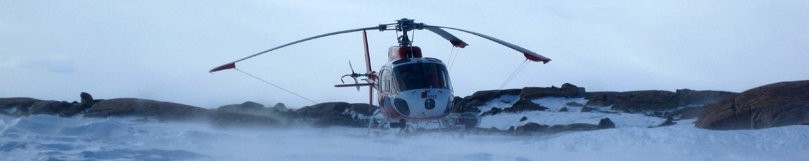
Location
Larsen Glacier at 1350 m a.s.l. is a glacier flowing southeast from Reeves Neve, through the Prince Albert Mountains and entering the Ross Sea just S of Mount Crummer in Victoria Land. Discovered by the South Magnetic Party of the Shackleton expedition, 1907-09, who followed its course on their way to the plateau area beyond. They named it Larsen Glacier because it flowed past the foot of Mount Larsen, which was constantly in view as they ascended the course of the glacier.
(From https://geonames.usgs.gov)
Data sheet
Model: Campbell CR1000
Mast: 3 m
- 2 Wind Speed and Direction
- 2 Temperature and Relative Humidity
- Atmospheric Pressure
- 2 GB solid state
- 4 batteries. Tot 440 Ah
- 1 solar panel
Curiosities ...
Max Wind speed: 70.8 knots (131.1 Km/h) at 8 July 2014
Minimum temperature: -51.6 °C at 28 April 2014
Maximum temperature: 0.0 °C at 6 March 2009