

Antarctic Meteo-Climatological Observatory
 Instruments -> AWS


| Latitude | 73° 2' 60'' S |
| Longitude | 169° 35' 60'' E |
| Altitude | 568 m |
| Installed on | 21 December 1990 |

WMO Number:
89661

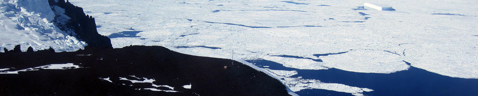
Location
Cape Phillips is s cape approximately midway along the east side of Daniell Peninsula, approximately 15 km southeast of Mount Brewster, in Victoria Land. Discovered in January 1841 by Sir James Clark Ross who named it for Lieutenant Charles G. Phillips of the Terror.
(From https://geonames.usgs.gov)
Data sheet
Model: Vaisala Milos 520
Mast: 3 m
- Wind Speed and Direction
- Temperature and Relative Humidity
- Atmospheric Pressure
- 1 Flash 4 MB
- 6 batteries. Tot 900 Ah
- 3 solar panels
- Argos satellite
Curiosities ...
Max Wind speed: 122.0 knots (225.9 Km/h) at 22 August 2012
Minimum temperature: -41.4 °C at 21 July 2004
Maximum temperature: 11.6 °C at 15 February 2018