Antarctic Meteo-Climatological Observatory
 Instruments -> AWS

| Latitude | 74° 49' 0'' S |
| Longitude | 163° 14' 0'' E |
| Altitude | 40 m |
| Installed on | 11 November 1987 |
| Removed on | 1 November 2002 |

Location
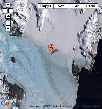
Nansen ice sheet is an ice shelf, about 50 km long and 18 km wide, nourished by the Priestley and Reeves Glaciers and abutting the north side of Drygalski Ice Tongue, along the coast of Victoria Land. This feature was explored by British Antarctic expeditions between 1907-13. The name "Nansen Sheet" was applied as the feature is adjacent to Mount Nansen, the dominating summit in the area.
(From https://geonames.usgs.gov)
Data sheet
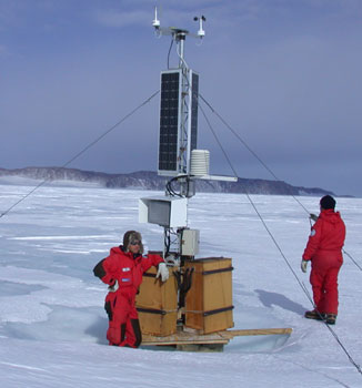
Model: Vaisala Milos 200
Mast: 3 m
- Wind Speed and Direction
- Temperature and Relative Humidity
- Atmospheric Pressure
- 2 EPROM 512 KB
- 6 batteries. Tot 900 Ah
- 2 solar panels
- Argos satellite
Curiosities ...
Max Wind speed: 99.0 knots (183.3 Km/h) at 21 April 1998
Minimum temperature: -46.0 °C at 26 June 1993
Maximum temperature: 6.1 °C at 17 March 1996


