

Antarctic Meteo-Climatological Observatory
 Instruments -> AWS


| Latitude | 74° 9' 36'' S |
| Longitude | 162° 44' 21'' E |
| Altitude | 880 m |
| Installed on | 18 January 1987 |

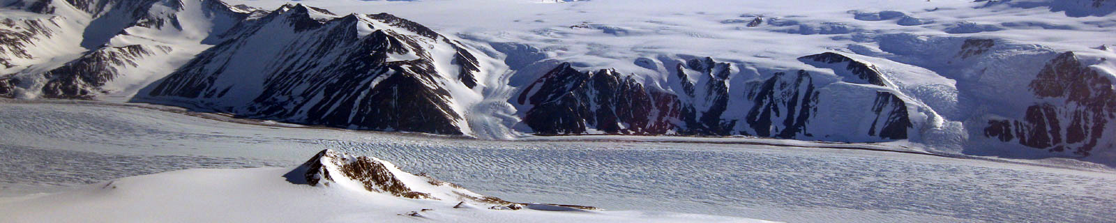
Location
Priestley Glacier is a major valley glacier, about 100 km long, originating at the edge of the polar plateau of Victoria Land and draining southeast between Deep Freeze Range and Eisenhower Range to enter the north end of the Nansen Ice Sheet. First explored by the British Antarctic Expedition during 1910-13 and named for the geologist Raymond E. Priestley.
(From https://geonames.usgs.gov)
Data sheet
Model: Vaisala Milos 520
Mast: 3 m
- Wind Speed and Direction
- Temperature and Relative Humidity
- Atmospheric Pressure
- 1 FLASH 4 MB
- 12 batteries. Tot 600 Ah
- 1 solar panel
- Argos satellite
Curiosities ...
Max Wind speed: 110.0 knots (203.7 Km/h) at 31 July 2004
Minimum temperature: -50.2 °C at 23 July 2004
Maximum temperature: 5.8 °C at 17 March 1996