

Antarctic Meteo-Climatological Observatory
 Instruments -> AWS


| Latitude | 74° 37' 35'' S |
| Longitude | 164° 0' 40'' E |
| Altitude | 355 m |
| Installed on | 1 November 1998 |

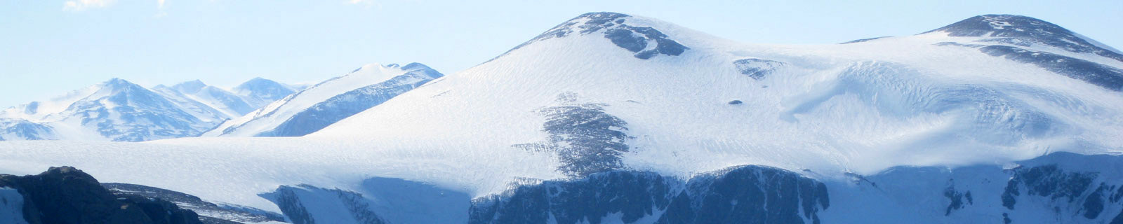
Location
Mount Browning is a mountain, 760 m high, which rises opposite the terminus of Boomerang Glacier in the Northern Foothills, on the coast of Victoria Land. First roughly mapped by the British Antarctic Expedition (BrAE), 1907-09. This area was explored and mapped in greater detail by the Northern Party of the British Antarctic Expedition 1910-13, and the mountain named for Petty Officer Frank V. Browning, Royal Navy, a member of the Northern Party.
(From https://geonames.usgs.gov)
Data sheet
Model: Vaisala Milos 500
Mast: 3 m
- Wind Speed and Direction
- Temperature and Relative Humidity
- Atmospheric Pressure
- 1 FLASH 4 MB
- 6 batteries. Tot 900 Ah
- 1 solar panel
- Radiomodem
Curiosities ...
Max Wind speed: 108.0 knots (200 Km/h) at 20 May 2016
Minimum temperature: -40.8 °C at 25 August 2008
Maximum temperature: 7.5 °C at 11 January 2002